Maps are about recording discoveries. One thinks of Lewis & Clark or Magellan stepping out into places in the world few had traversed; exploring untamed frontiers and sketching everything they saw, everything they learned. Redefining the shape of the world.
Fantasy worlds are perhaps the closest we have to frontiers in a day and age where globegenie can take you anywhere in our world.
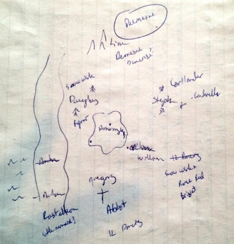
Mapping gives the reader a picture of the land – to ignite their imaginations as they explore the story. It also gives the author an idea of what they’re working with. I drew the first map of the Princess Kingdoms because Bion was going to visit them. I needed to know how long he’d be out of the story or how many days I needed to jump forward to bring him back into the story. So, I started with the only point I knew – the distance between the family cottage and the palace.
What did three days look like? And from there, how big is this world?
Unfortunately, I cannot draw well and so while I had an idea of the shape of the land, I needed a cartographer.

Like Lewis & Clark, I had partners in my expedition. My sister read each draft of Tattered Heart and gave invaluable notes and guidance. And she was more than willing to act as my cartographer.
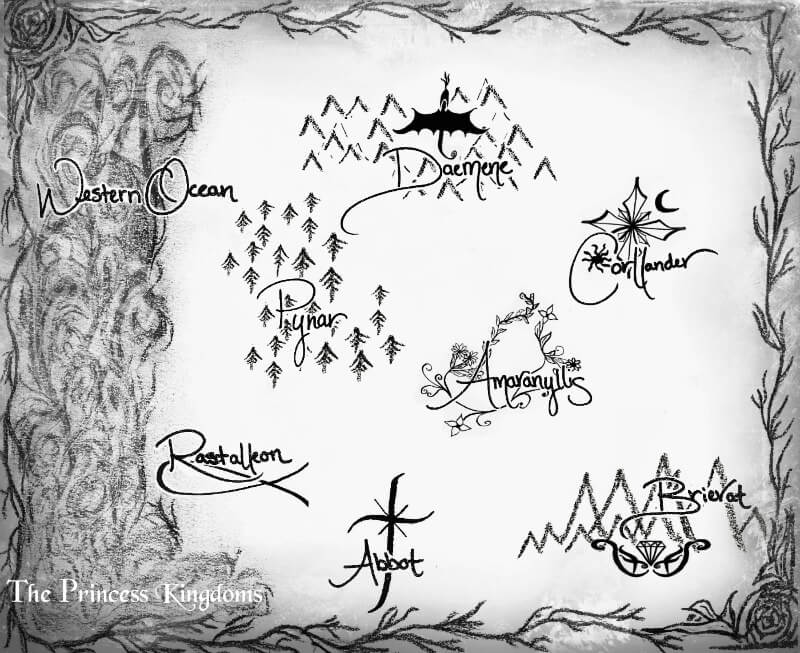
I really wanted a simple map, like Tolkien’s map of the Hobbit. Something with stark black lines and simple information to go with a fairy tale rather than an expansive fantasy world. But we also wanted to give it personality. She took the base map I’d drawn and defined and expanded it. She made the Western Ocean a swirl of chaos and wild beauty. And it was her idea to give each of the Princess Kingdoms an emblem.
We spent a few nights around her dinner table discussing the fairy tales that would take place in each kingdom and the culture there. Then she sharpened her calligraphy pen (which, granted you don’t actually sharpen) and drew a few versions of emblems for each kingdom.
My old world explorer analogy runs right off a cliff when computers became involved. But I scanned each of the emblems so I could unify them into a properly spaced map. One of my best friends provided the lettering from across the country since she has my favorite handwriting ever. A few photoshop touches and a filter later, I had an actual map.

There are no lines defining the kingdoms other than Amaranyllis. I imagine there’s wildwood between each of the kingdoms; places that belong neither here nor there. But by not drawing lines, I get to continue to discover the world of the Princess Kingdoms – to explore the breadth of Corllander and Brievat; to find out where Abbot ends and Pynar begins. And further expeditions will bring new lines and new details to my map.
Originally posted at Oh, the Books!
